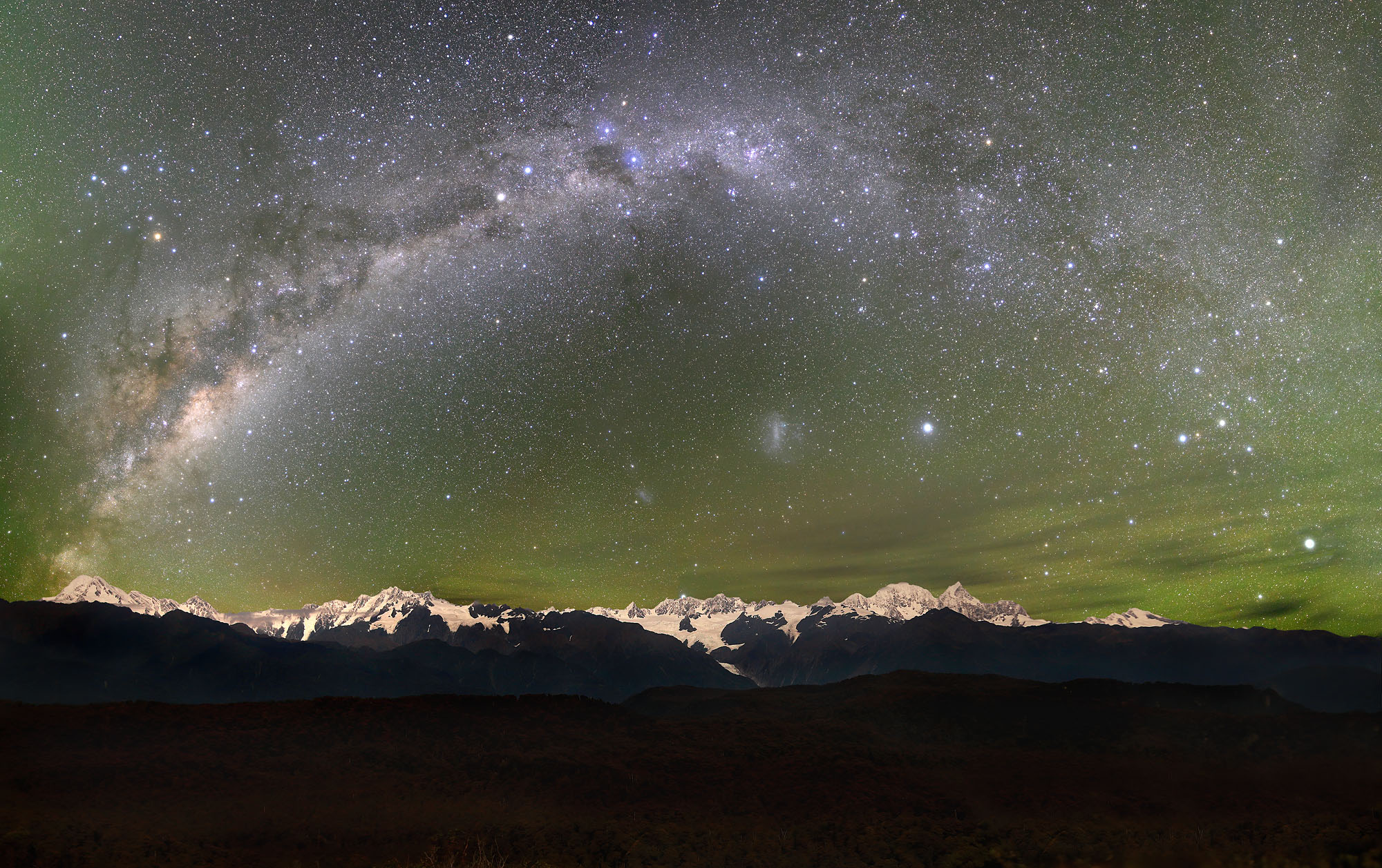
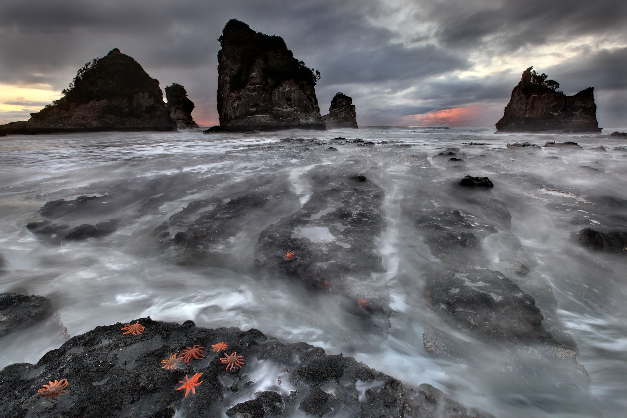
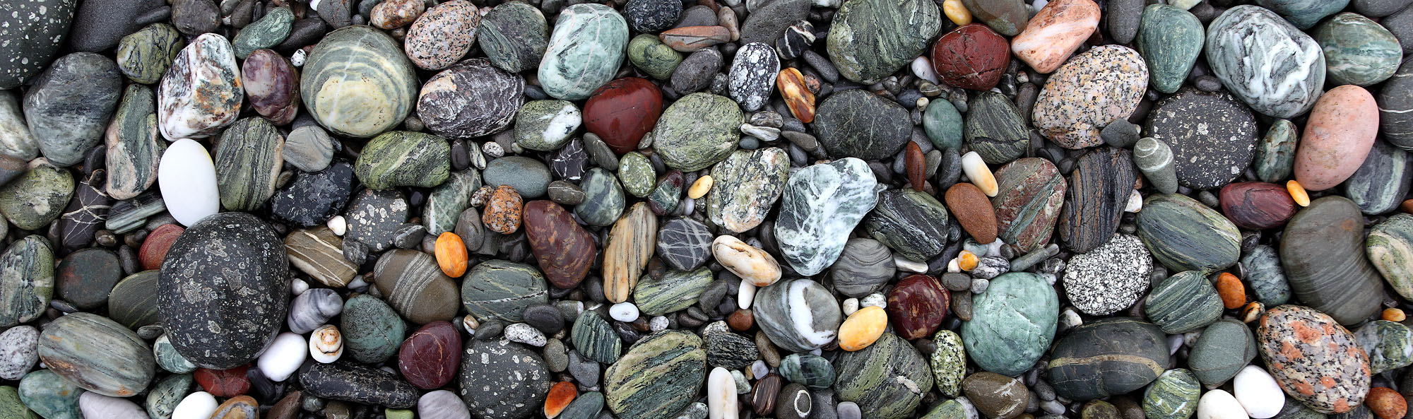
The colorful pebbles on the west coast of New Zealand’s South Island are well rounded by the surf. They mirror the geological processes that created the glaciated peaks of the Southern Alps 25 million years ago. However, the adventurous geological past of these rocks reaches far beyond this period. It can be traced back to the age of the Devonian 390 million years ago and leads us to the northeast of today’s Australia, which at that time was part of the southern continent of Gondwana. There, a high and glaciated mountain range developed along the coast of a long vanished ocean. These beautiful rocks on Gillespies Beach consist of their weathering products. From this beach, the 3,724 m (12,218 feet) high southern alpine peak of Mt. Cook is just 33 km (21 miles) away.
These pebbles reveal the grand rock cycles of our planet with their eternal recycling, which only becomes apparent in the course of hundreds of millions of years. More than 3,500 km (2,175 miles) and a whole ocean, the Tasman Sea, separate the former mountain range in the northeast of Gondwana and today’s Southern Alps. How did the rocks of the Devonian mountain range develop into the Southern Alps some 365 million years later? This is the story written in the perfectly rounded pebbles along Gillespies Beach.
In the late Devonian 390 to 370 million years ago, when the plate-armored fish conquered the seas, compression on the eastern continental margin of Gondwana created a high coastal mountain range consisting of granite. Magma rose from the depths and slowly solidified in the earth’s crust to form the granite. Over the next 200 million years, until the beginning of the Cretaceous period, the weathered debris of this mountain range continually reached the adjacent sea. Transported by numerous rivers it was deposited in vast quantities on the shallow continental shelf as a mixture of pebbles, sand and mud. The sediments were constantly accumulating where the continental margin slopes down into the deep sea. This caused instabilities, which in turn triggered large-scale underwater avalanches, called turbidites. They carried the sediment load into the deep sea, where it was stratified into layers of pebbles, sand and mud. Consolidation of this sediment produced a grey and uniform sandstone rock called greywacke. It belongs to the Torlesse Formation which forms the lofty peaks of the Southern Alps of New Zealand. 250 million years ago, towards the end of the Permian period, a volcanic island arc formed off the east coast of Gondwana. This was the result of a subduction zone forming along the east coast of Gondwana. Subduction zones are deep-sea trenches in which the dense and therefore heavy volcanic ocean floor submerges under the relatively lighter continent. At depth, the oceanic plate is slowly melted, its magma rises and, as a result, a volcanic arc develops along the continent. These volcanic rocks and sediments belong to the Arc Formation of New Zealand. At Gillespies Beach the rocks of the Torlesse and Arc Formations mix together.
Due to the continuous subduction of the oceanic crust under the eastern rim of Gondwana, the greywacke of the Torlesse Formation, formerly deposited on the deep sea floor slowly returned towards the continent as if on a conveyor belt. While the dense and heavy volcanic ocean floor is pulled into the depths and is melted, the wet sediments are too lightweight to be subducted and therefore they are scraped off the ocean floor and amalgamated to the trench along the volcanic island arc. The first Torlesse greywacke reached the deep-sea trench at the beginning of the Triassic, coinciding in time with the rise of the dinosaurs. At the end of the Triassic, 200 million years ago, a several tens of kilometers thick sequence of greywacke had accumulated along the deep-sea trench. The enormous compression at the volcanic island arc caused a new mountain uplift process that created the Rangitata Mountains off the east coast of Gondwana out of these greywacke sediments during the Jurassic period, until 160 million years ago. The Torlesse greywacke thus became a high mountain range for the second time.
Due to the enormous compression, the shortened earth’s crust thickened considerably in this region. This caused parts of the deeply buried Torlesse greywacke to reach depths of 100 km (62 miles), and thereby entering the upper mantle. At temperatures of 350 to 450°C (662 to 842°F) and the enormous pressures prevailing there, the sandy structure of the uniform greywacke changed into a completely new rock called gray and green schist. The process of rock metamorphosis through pressure and heat at depth recrystallizes the formerly granite sand grains of the greywacke into beautifully banded layers of light feldspar and quartz as well as dark layers of mica. The mica can in turn consist of silvery muscovite, shiny black biotite and green chlorite. This metamorph rock forms the grey schist frequently found in the Southern Alps. More rarely, sediments of volcanic origin such as the basaltic ocean floor mixed with the greywacke. The green fraction of the resulting schists increases significantly during the metamorphosis. The ferrous green minerals chlorite, epidote and actinolite lend the green schist its color. This resulting geological formation is called Haast Schist in the Southern Alps.
These deeply buried grey and green schists were uplifted to the earth’s surface during a second orogeny phase during the Jurassic and early Cretaceous periods. The schists were folded into the resulting Rangitata Mountains consisting of greywacke. With the subduction coming to a halt, the compression and consequently the mountain uplift phase ended. The mountains were eroded again by wind and weather. Their sediments were transported by rivers into the adjacent ocean where they were deposited again. About 100 million years ago, during the dinosaur’s prime-age, this landscape largely consisted of eroded mountains and vast plains with lush swamps and forests.
During this time period the eastern edge of Gondwana was separating from the rest of the continent as a result of rising magma causing the continent to tear apart. Along this suture, magma penetrated all the way to the surface and volcanoes began to erupt.
The continental margins subsided on both sides. This widening depression of volcanic basalt crust was soon invaded by water to form a new ocean basin. The Tasman Sea opened in west east direction about 85 million years ago. New Zealand thus became an independent subcontinent for the first time. About 55 million years ago, the Tasman Sea ocean basin spreading came to a halt. The meanwhile eroded lowlands of New Zealand in combination with a continuous sinking of the subcontinent caused New Zealand to sink below the sea level about 30 million years ago. Except for a few remaining islands, marine sediments widely covered the sunken land.
Since then, New Zealand has been located between tectonic plates and is exposed to the tremendous pressure of the northward moving Australian Plate to the west and the westward moving Pacific Plate to the east. About 25 million years ago, a new mid-ocean ridge formed in the Pacific Ocean. Since then, volcanic ocean floor has been continuously forming there. East of the ridge the ocean floor is drifting towards South America while west of it the ocean floor drifts towards New Zealand. The subduction of the Pacific Plate underneath New Zealand creates the volcanoes of the North Island. Along the east coast of the South Island, the Pacific Plate consists of continental crust. There, the collision with New Zealand causes strong compression of the Pacific Plate below sea-level. The Australian Plate, on the other side of New Zealand, shears in south-north direction along the west coasts. As a consequence of the enormous pressures acting from different directions, New Zealand broke apart longitudinally to form the alpine fault. Along this fault, the pressure is compensated and, as a result, the Southern Alps are uplifted. Gradually, New Zealand was lifted above sea level again and the soft marine sediments were eroded, with few exceptions that remained. With the formation of the new mountain range, called the Kaikoura orogeny, the ancient sediments of the Torlesse and Arc Formation were tilted from their horizontal position more than 55 degrees into the vertical. During this process, they were squeezed into numerous folds and stacked on top of each other. Because of this structure, the uniform Torlesse greywacke builds up the main mountain range of the Southern Alps while towards the west coast the older and thus deeper sediments of the banded gray and green schists are located. The collision has shortened the continental crust of New Zealand by more than 120 km (75 miles). This compression thickened the crust to more than 45 km (28 miles). Since the last 5 million years, the uplift rate of the Southern Alps has been extremely high at 10 to 20 mm (0,4 to 0,8 inches) per year. This makes the Southern Alps one of the fastest growing mountain ranges on our modern day planet. Within 5 million years, the Southern Alps have been risen skyward an incredible 20 km (12,4 miles). This is six times the height of today’s lofty peaks of the Southern Alps.
The reason why the Southern Alps do not soar 20 km (12,4 miles) into the sky is that the erosion rate almost equals the uplift in New Zealand’s wet and cold mountain climate. This balances the ascent of the mountains, allowing the summit regions to reach heights of around 3,700 m (12,140 feet). The main agent of this erosion is the water cycle in combination with a vast amount of time. Water penetrates deep into the rock fractures and joints. When it freezes, it increases its volume and thus weakens the rock. This freeze-thaw pattern is accompanied by abundant snowfall on the western slopes of the mountains. The Southern Alps block the westerly wind drift of the low-pressure systems because of the north-south orientation of the mountain range. Therefore, each low-pressure system crossing the Southern Alps loses its humidity in the form of snow and rain on the west side of the mountains. The snow gradually transforms into ice. The ice forms glaciers once moving downslope under its own gravity. Glaciers form jagged peaks and horns on their way downhill and carve out deep U-shaped valleys. In the process, the eroded rock and vast amounts of sand of all grain sizes are transported towards the valleys. The meltwater and rainfalls in the lower regions of the mountains transport these sediments further downhill. Creeks and rivers form deep V-shaped valleys. After only 33 km (20,5 miles) of transport, the rock and sand returns to the ocean and is deposited in the Tasman Sea.
The perpetual recycling loop of the rocks closes again for a third time. The greywacke and schists, perfectly rounded by the surf, mix with colorful coarse-grained granites, pure white quartz and black magmatic-volcanic porphyries containing white and irregularly shaped feldspars to form a mixture of Torlesse and Arc Rock rocks. These rocks were already part of three majestic and lofty mountain ranges, and they will most likely be a mountain range again, in a distant future in another place.
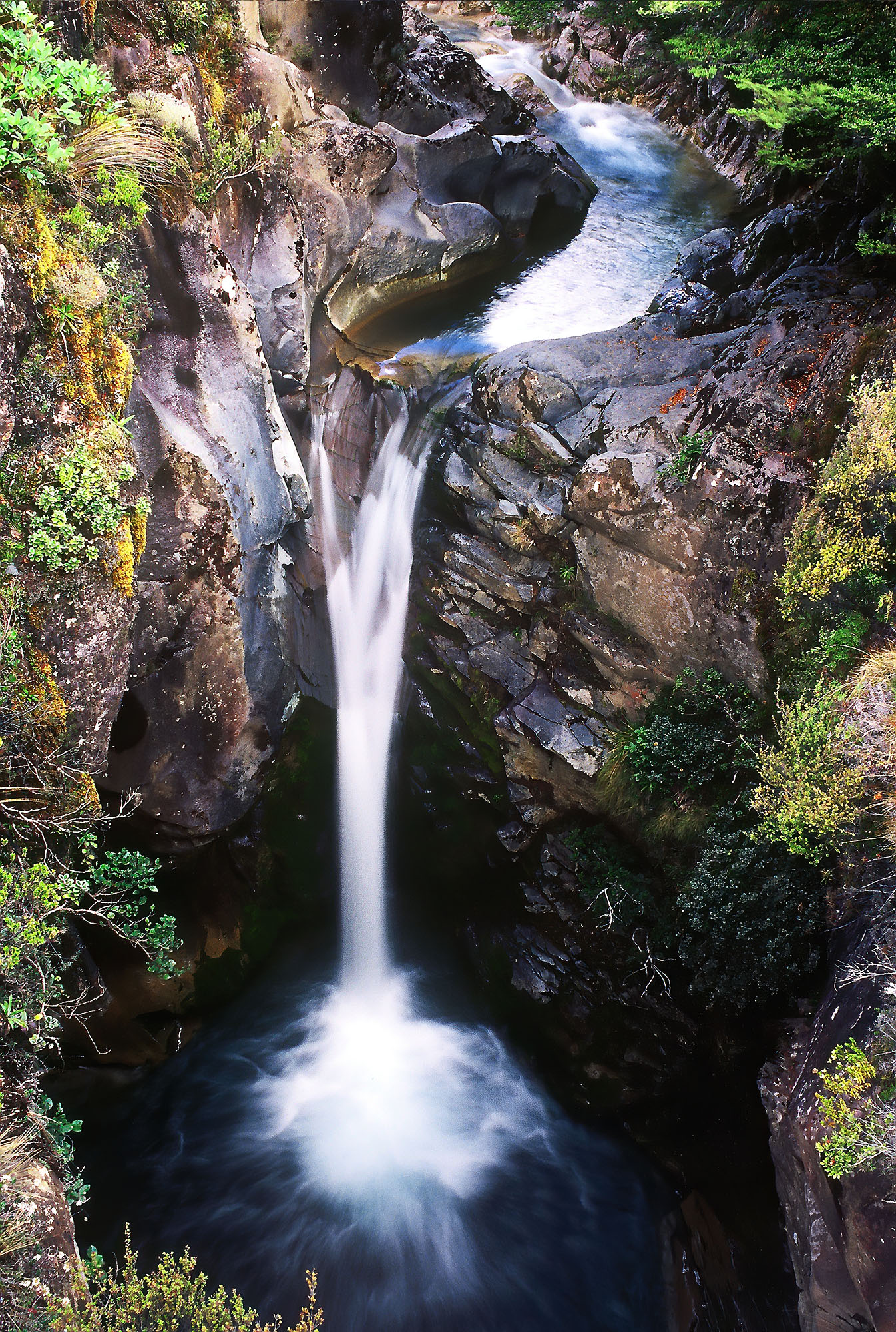
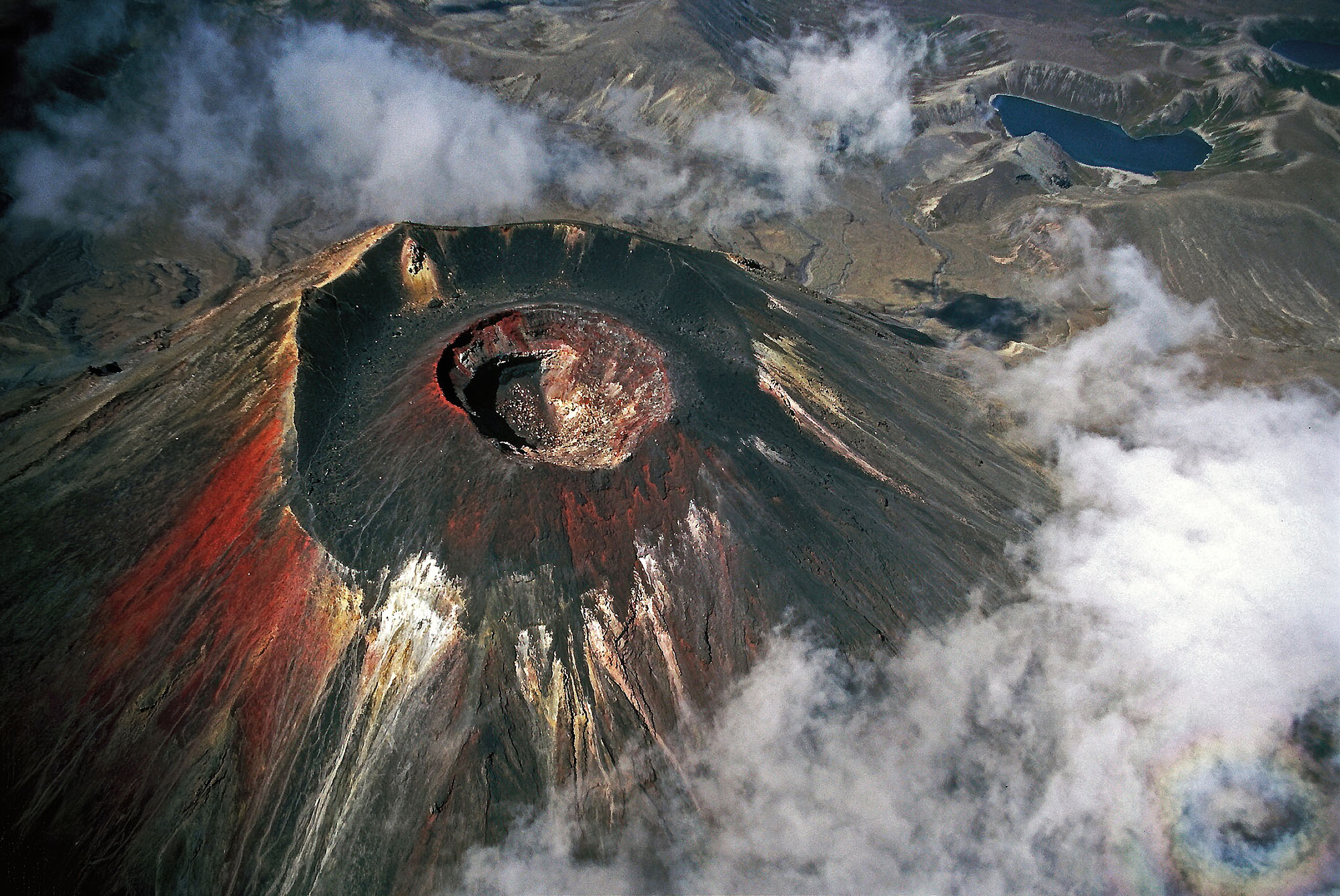
Change is the only constant on our planet. The rocks of our planet carry the memory of these changes within them. Deciphering these stories written in the rocks is one of the most fascinating scientific adventures of our time. In the early days of human existence, hunters and gatherers perceived an individual soul and its story in each and every animal, plant and stone. If we listen and sense carefully, we can hear and feel the whispering of the rocks.