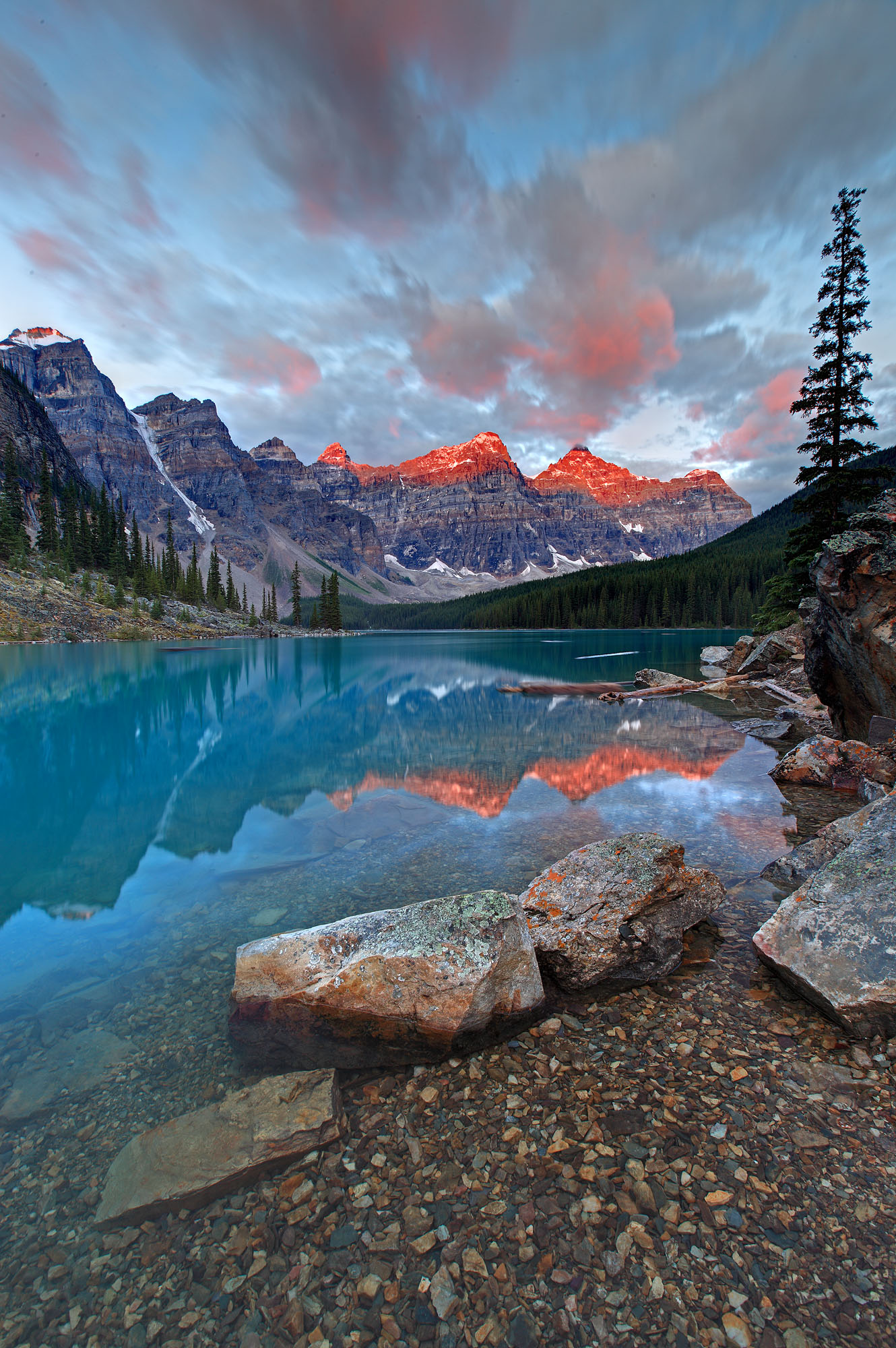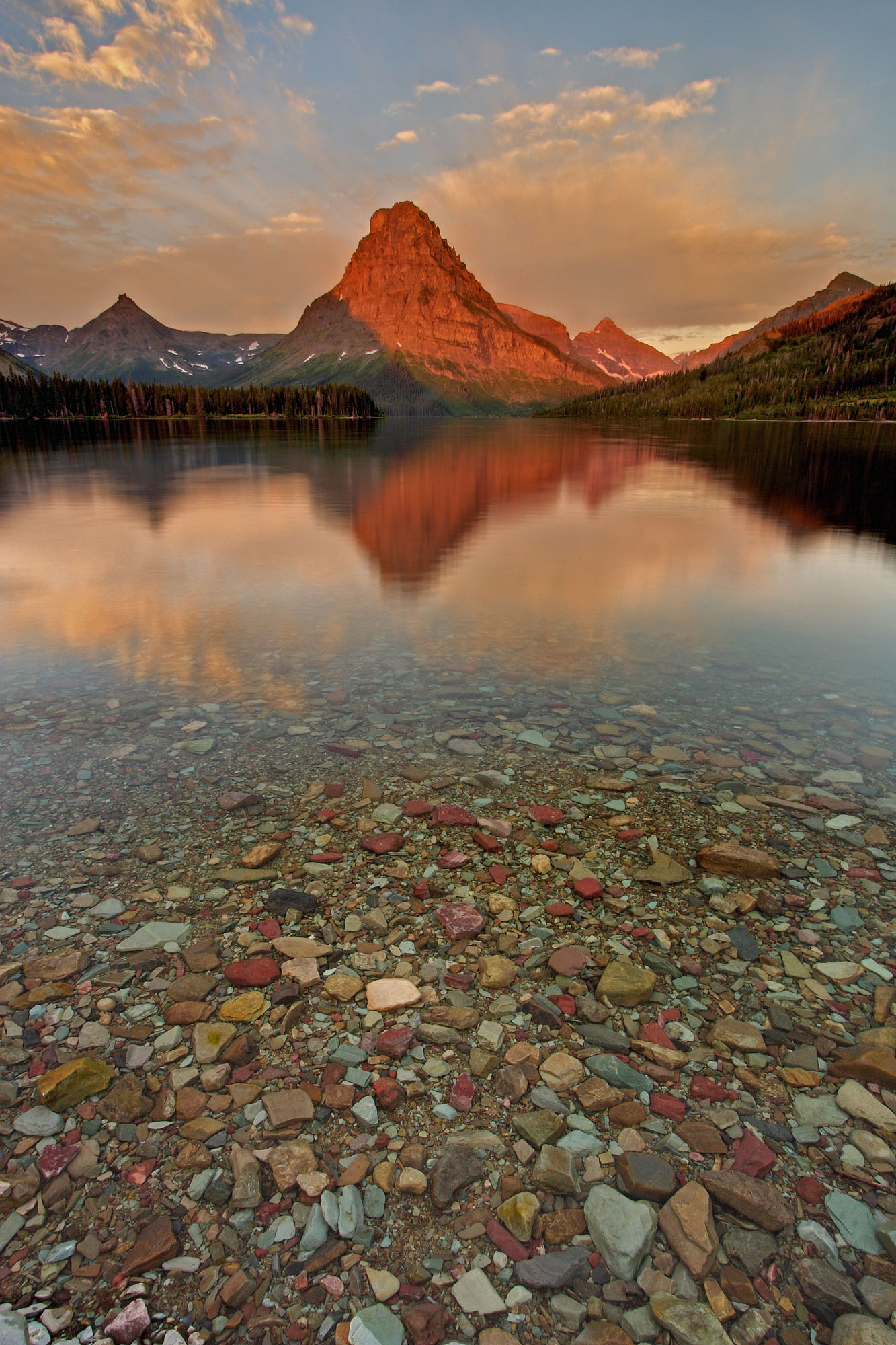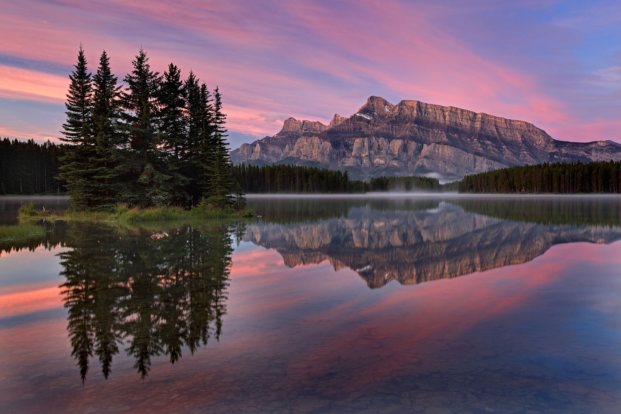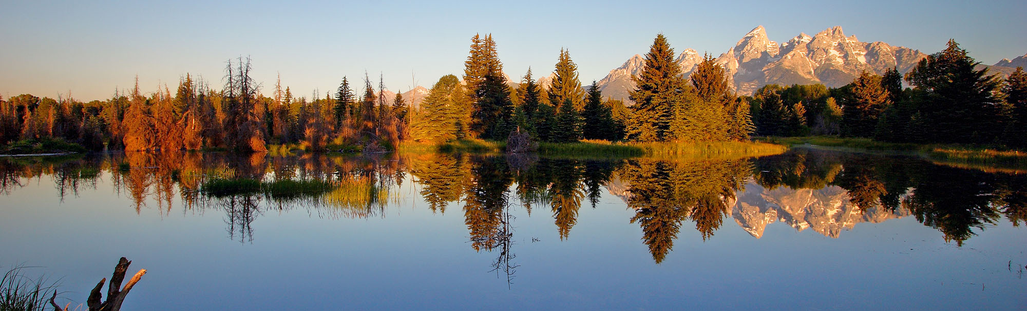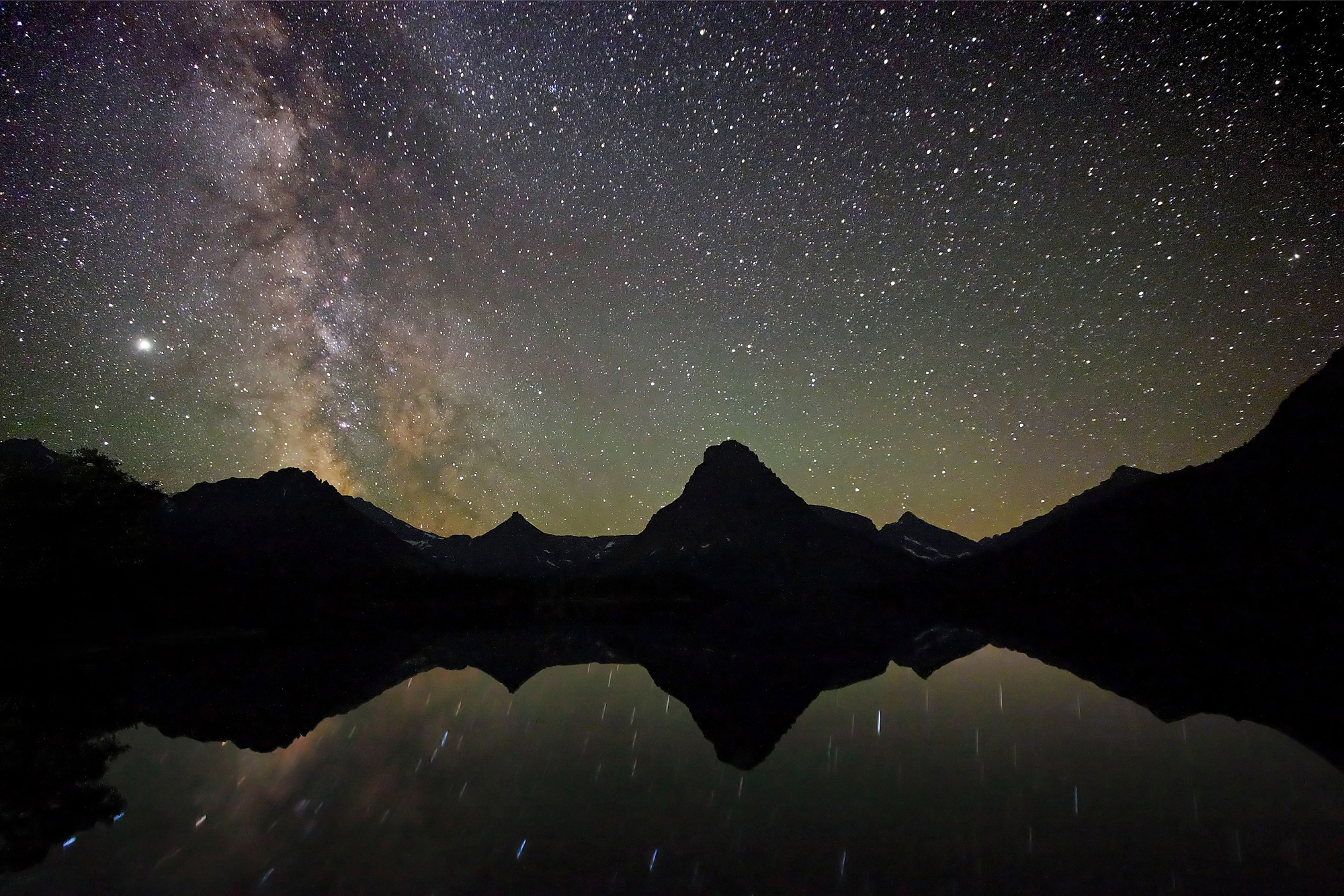
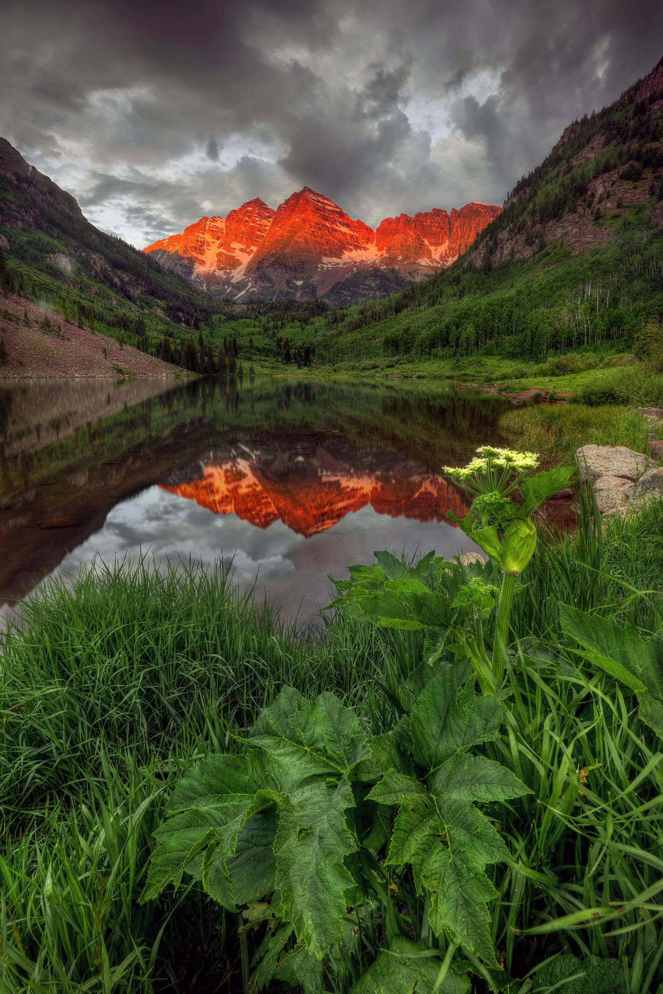
The Maroon Bells near Aspen in Colorado mirror in Maroon Lake at sunrise. The deep-red, sunlit peaks of the 4,315 m (14,157 feet) and 4,270 m (14,009 feet) high Maroon Bells are only 500 m (1,640 feet) apart.
They consist of reddish mudstones and sandstones that formed from the sediments of a high mountain range more than 300 million years ago: the Uncompahgre Mountains. “Uncompahgre” is a Ute Indian word meaning “rocks that color water red” and thus describes these mountains quite literally. The red coloring of the rocks is caused by ferric oxide. Maroon Lake is located at an altitude of 2,920 m (9,580 feet) and was formed as a result of a landslide on the steep mountain slopes, which caused a rockfall. This caused the meltwater of Maroon Creek to accumulate on the valley floor and form the lake. The valley floor itself was scoured out by the glaciers of the last ice age. These glaciers also formed the distinctive shape of the Maroon Bells. Aspen, spruce, and fir trees surround the lake, and on its shores, the impressively large cow parsnip (Heracleum sphondylium) blooms in summer.
The geological history of the rocks that form the Maroon Bells dates back to the Carboniferous, more than 350 million years ago. With the closure of the Iapetus Ocean, the vanished ocean where the Atlantic Ocean now extends, a humongous continental collision occurred between the two major continents of Laurentia (combining North America, Europe, and Asia) and Gondwana (combining South America, Africa, Australia, India, and Antarctica). As a result, all landmasses joined together to form a supercontinent called Pangaea. Along the collision suture, enormous mountain ranges developed, comparable to today’s Himalayas. The collision compressed the continental crust by more than 100 km (62 miles), thickened it accordingly, shifted entire landscapes sideways against each other, and stacked them on top of each other. In what is now North America, this collision also resulted in the uplift of the Ancestral Rocky Mountains. One of the great mountain ranges that formed during this tectonic upheaval was the Uncompahgre Mountains, which stretched from what is now New Mexico across Colorado to Utah. These mountains were subsequently eroded over hundreds of millions of years, leaving behind their deeply buried roots and enormous quantities of sediments derived from their own destruction.
The landscape of North America must have been spectacular at that time. While the primordial Pacific Ocean, Panthalassa, stretched to the west, the Absaroka Shelf Sea covered large parts of the North American continent about 310 million years ago. This shallow inland sea flooded a former karst landscape consisting of limestone and dolomite, which had formed 350 million years ago. Numerous caves, caverns, and sinkholes characterized this landscape. The enduring contact of these rocks with seawater caused profound weathering and transformed them into deep-red, muddy sediments. From these red sediments and the underlying sandstones and granites, countless islands and rugged mountain ranges were uplifted out of the sea by the powerful collision that created the supercontinent Pangaea. These varied landscapes of seas, beaches, tidal areas with river deltas, islands, and mountains offered a plethora of animal and plant species ideal living conditions. In addition, massive carbonate limestones and salt sediments were formed in the shallow sea as seawater evaporated in the increasingly tropical-hot climate of the Permian period. Accordingly, the sediments formed a chaotic sequence of limestone, dolomite, coarse- to fine-grained sands, mud, and unsorted boulders.
During the Permian and Triassic periods, 300 to 200 million years ago, coinciding with the rise of the dinosaurs, the Absaroka Sea retreated from the continent due to falling sea levels, while the Uncompahgre Mountains were slowly eroded. Wind and weather turned the red rock into clay, silt, and sandstone, which were deposited as the Cutler Formation with a thickness of up to 3,700 m (12,140 feet). These rock series are the weathering products of feldspar-bearing rocks. In most cases, feldspars are transformed relatively quickly into clay minerals through chemical weathering. However, if feldspar remains in the sediment, this indicates a short transportation distance through rivers and a high accumulation rate of sediment. This, in turn, indicates erosion of a high mountain range. In addition, the grain size of the sandstone is only moderately sorted, and the grains are poorly rounded.
The low percentage of fossils further indicates increasingly continental deposition in a desert climate, which additionally favors the slow chemical weathering of the feldspars. The long burial of these loose sediments at depth caused them to solidify into the rocks of the Cutler Formation. These red rocks, which are very widespread in the southwestern USA, have been given many different regional names and form many famous rock formations, among them Monument Valley.
When the modern Rocky Mountains were uplifted by the Laramide orogeny 80 to 40 million years ago, the ancient sediments of the Cutler Formation were tectonically reactivated and folded to form parts of the Rockies. In the area of the Maroon Bells, the deep-red layers of mudstone were uplifted. In addition, they were partly heated during contact with granitic magma intrusions and hardened significantly. In contrast, volcanic fluids chemically altered the mudstones. This caused a change in color to a grayish red as well as a destabilization of the rock. This is why the Maroon Bells are notorious among mountaineers for their brittle rocks, which can trigger treacherous rockfalls.
The red light at sunrise illuminates the rocks of the Maroon Bells for a short moment, reviving their original red splendor. The characteristic shape of the Maroon Bells is a unique sight, but who knows how magnificent these rocks were 300 million years ago, when they formed part of the Uncompahgre Mountains.