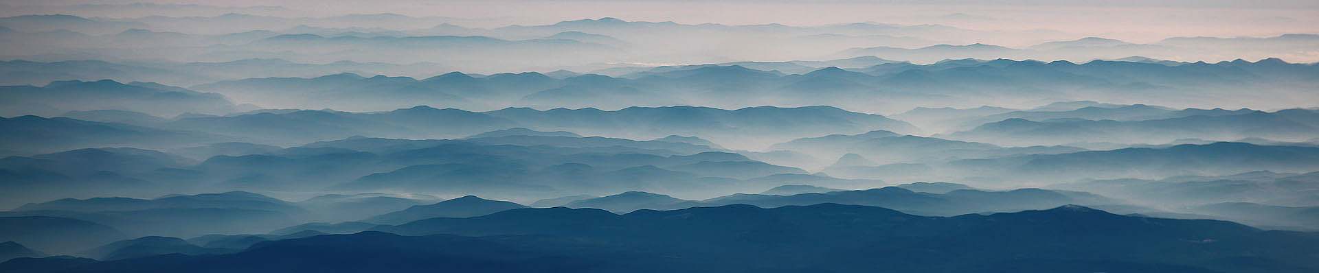
Seen from the air, the Cascade Range of the Pacific Northwest reveals a vastness impossible to grasp from the ground: an apparently endless succession of mountain ridges fading into the blue haze of altitude like finely staggered tiers. Each range, each crest softens a little more in the sun’s delicate backlight, until the landscape dissolves into a flowing interplay of lines and layers—a quiet composition of light, air, ocean, and stone.
What first appears like a sea of blue waves is, in fact, the product of two entirely different yet inseparably intertwined geological stories, woven together across the dimension of time. The Cascade Range is an extensive mountain system that runs parallel to the coastline—though far inland—from Washington to Oregon. For millions of years, the relatively small Juan de Fuca oceanic plate, a detached remnant of the volcanic Pacific Plate, has been subducting beneath the North American continent composed of granites and gneisses. This descent generates immense compressional forces that thicken, uplift, and fold the continental crust. In this way, long, coast-parallel ridges and stepped landforms arise—frozen waves of rock reaching toward the continent’s interior.
At the same time, the Cascade Range forms a classic subduction-driven volcanic arc. Deep below, water-rich fluids released from the descending oceanic plate trigger melting in the overlying mantle, feeding magma chambers hidden within the continental crust. These chambers feed the highly explosive stratovolcanoes of the Pacific Northwest. Interrupted by long dormant periods, they rise eruption by eruption into powerful volcanic giants reaching up to about 4,000 meters (13.000 feet). One of the most dramatic displays of this internal Earth energy was the eruption of Mount St. Helens on May 18, 1980.
The result is a dual mountain landscape: a tectonically uplifted framework of compressed crust crowned by an arc of young stratovolcanoes—Glacier Peak, Mount Rainier, Mount Hood, and the former Mount Mazama, whose caldera is now known as Crater Lake. It is a mountain system that remains active and continues to grow. That it does not rise even higher is due to equally powerful erosion driven by the region’s enormous precipitation, which forms extensive glaciation on the tallest volcanic summits.
These summit lines, which appear so soft and gentle from above, in truth tell of Earth’s deep, elemental forces. Yet from a distance, their story dissolves into an ethereal sequence of blue silhouettes—as if the mountains themselves were only waves moving through a vast geological ocean, an ocean of time. Here, in the interplay of explosive volcanoes, descending seafloor, and compressed continental crust, the profound interconnectedness of all things becomes visible: time, the Earth’s interior, crust, ocean, atmosphere, movement, and perpetual change.
This landscape embodies the great cycles that have shaped Earth for countless millions of years. Mountains that appear peaceful from afar carry within them the history of a planet that has never stood still.