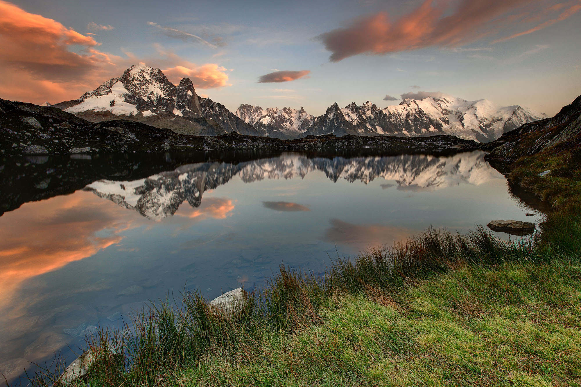
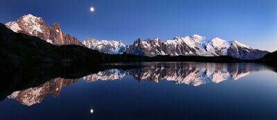
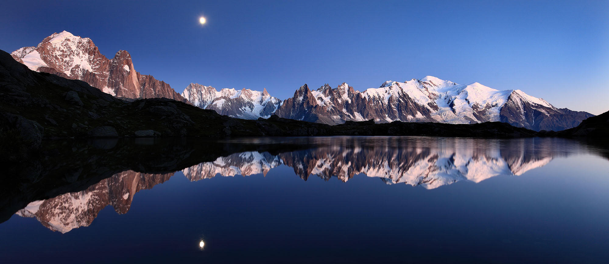
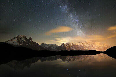
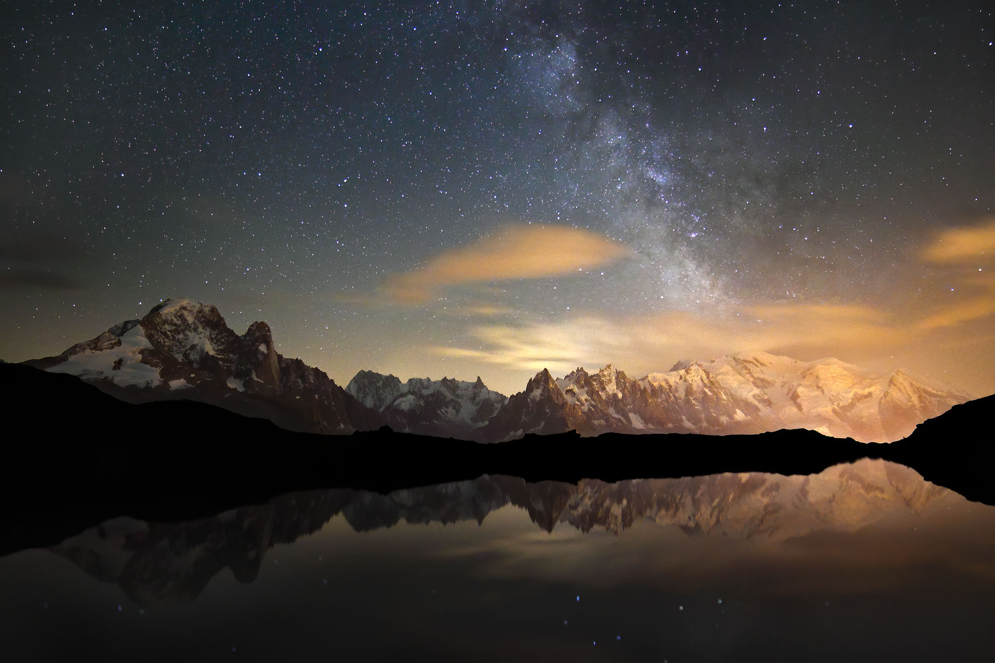
Lac de Cheserys in the Aiguilles Rouge above Chamonix offers spectacular views of the Mont Blanc massif. At the end of a stormy day the sunset dramatically illuminates foehn clouds indicating high wind speeds at height. However, for a fleeting moment the wind calmed down just enough to allow for a glassy reflection of the snowy mountain range in this beautiful alpine lake.
-
-
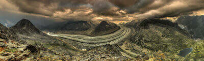
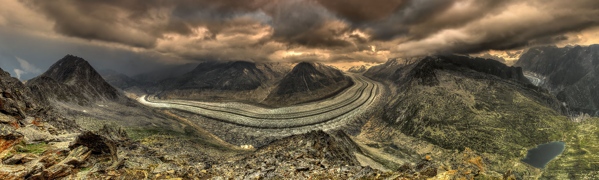
The Mont Blanc massif in a foehn storm
Elements of Storm
-
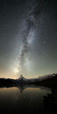
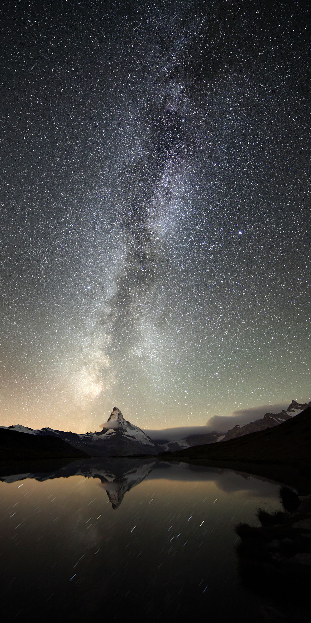
- Stellar Sunshine
-
- Moonrise Symphony
-
- Storm Reverb
-
- The Dawn of the Nightglory
-
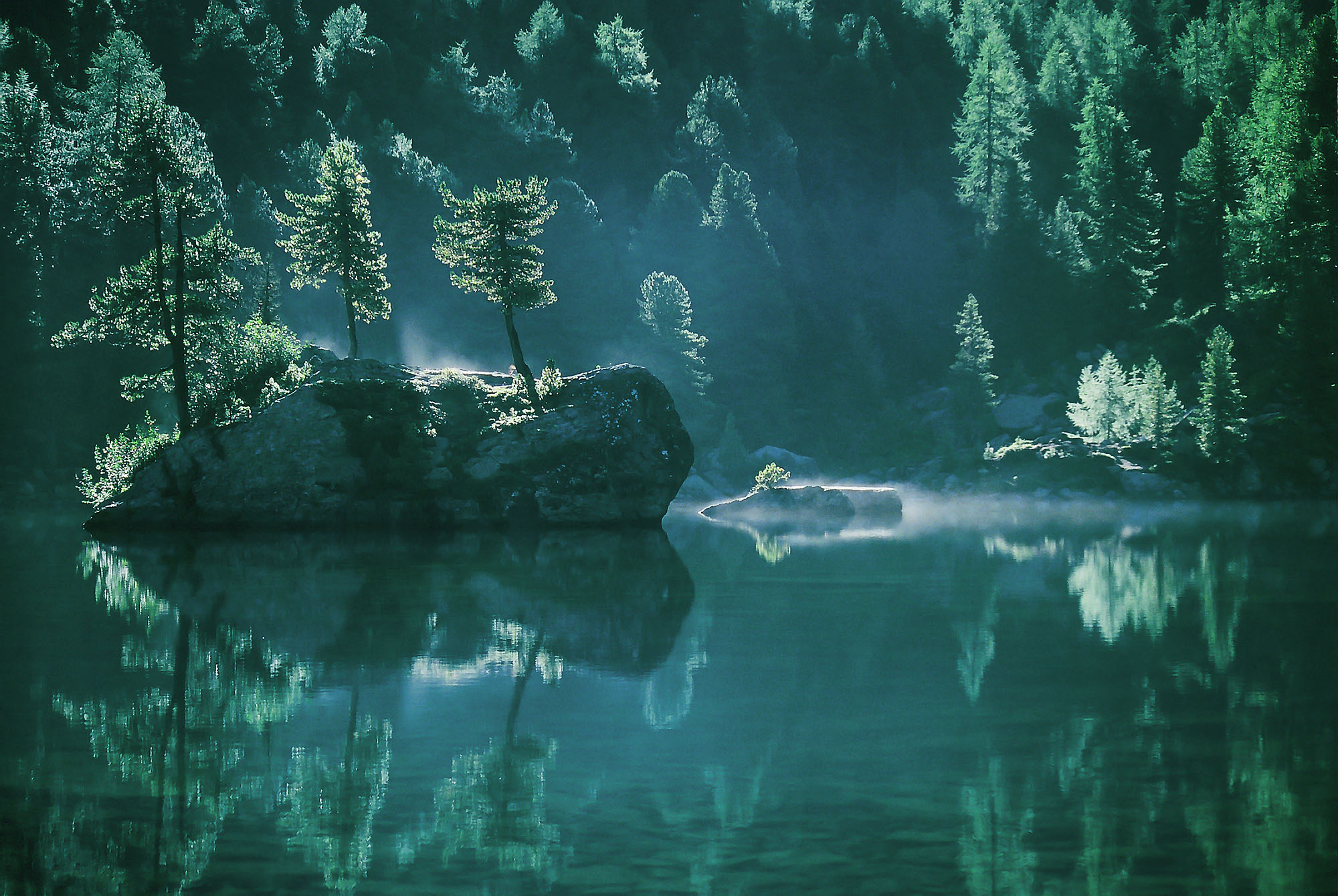
- Dreamscape